
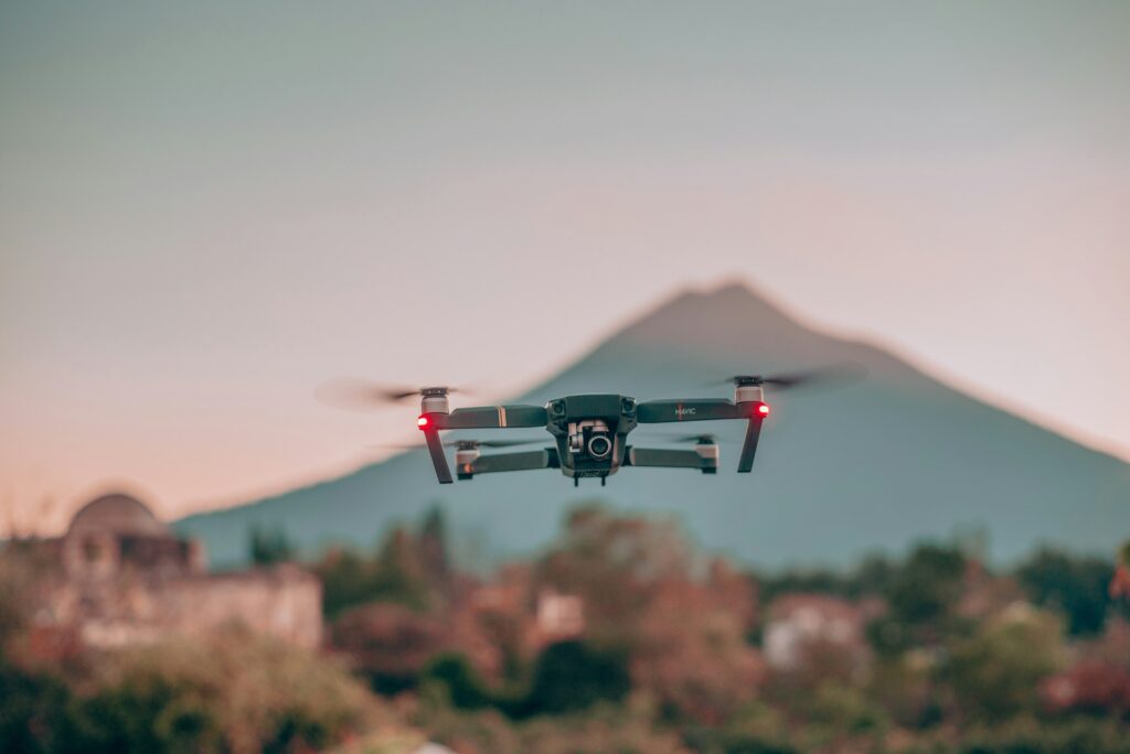
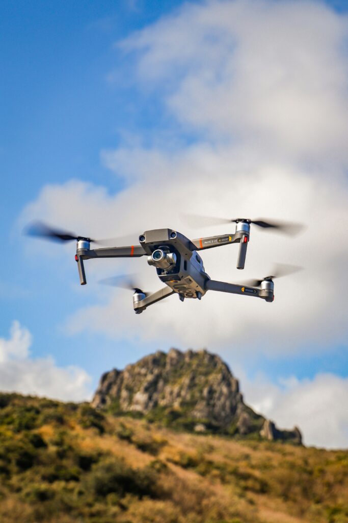
Wondering how best drones for mapping makes your works easier? These aerial devices capture detailed images from above, creating accurate maps and also perform surveys.
Nowadays, advanced technology is making it more perfect for mapping. Drones make it simple for both experts and hobbyists to gather data, monitor areas, and generate detailed maps for various purposes.
The top drones for mapping have features like good cameras, systems to avoid obstacles, longer flight times, and more.
Top 5 Best Drones for Mapping: Explore Their Features
Now, you’ll get introduced to some best drones for mapping with attractive features.
1. DJI Mavic 3– Best Drones for Mapping Overall
Main Specifications
- 4/3 CMOS Hasselblad camera for professional-level mapping
- Impressive 46-minute maximum flight time
- Advanced obstacle sensing ensures safe mapping
- The 5-kilometer maximum transmission range
- Operating temperature from -10°C to 40°C
Why Should You Go for DJI Mavic 3?
The DJI Mavic 3 enterprise drone is an ideal choice for mapping enthusiasts. Its professional-grade camera ensures detailed imaging, while a remarkable 46-minute flight time maximizes coverage.
Besides, its advanced obstacle sensing guarantees safe mapping, and a 15-kilometer transmission range expands exploration possibilities.
With a smart Return to Home system and broad operating temperature range, it’s even dependable in tough conditions. So, for comprehensive and safe mapping, the Mavic 3 is one of the best drones for mapping.
Pros
- O3 Plus Transmission System for 1080p/60fps live feeds
- Smart Return to Home system ensures safe returns
- Operating ceiling of 6000 m above sea level for versatile mapping
- Level 6 wind resistance ensures
Cons
- Bulky design creates hassle in portability
- Limited availability of accessories, also from the manufacturer
2. Autel Robotics EVO II– Best Drones for Mapping With Dedicated Sensor
Main Specifications
- Real-time kinematics for up-to-the-centimeter drone location tracking
- Accuracy up to 1 cm+1ppm (horizontal) & 1.5 cm+1ppm (vertical)
- 1″ CMOS sensor captures high-quality imaging data
- 7.9″ Ultra-HD touch screen, 2000 nits brightness, also optimized for direct sunlight
- Provides smart photography options and various flight modes for different tasks.
Why Should You Go for Autel Robotics EVO II?
The Autel EVO II Pro V3 RTK is one of the best survey drones due to its centimeter-level accuracy using RTK technology. However, among all the best drones for mapping, what sets it apart?
Well, with a powerful Sony 1″ CMOS sensor, it captures detailed 6K video and 20MP photos so that users get precise and high-quality imaging for mapping applications. Moreover, the NTRIP connectivity eliminates the need for Ground Control Points making operations easier.
Furthermore, the smart controller V3 with a bright 7.9″ touch screen enhances visibility. It makes this drone a practical and also efficient solution for professionals in various industries requiring accurate and detailed mapping data.
Pros
- 38-minute flight time allows extensive coverage during mapping
- The advanced algorithm ensures clean, detailed, low-noise operation
- Adjustable aperture from f/2.8 to f/11 adjusts diverse lighting conditions
- Autel Explorer App offers intelligent photography
- Suitable for diverse applications beyond mapping
Cons
- Higher price points compared to some competitor drones.
- Limited availability of replacement parts.
3. Yuneec H520E Professional Drone– Best Professional Mapping Drone
Main Specifications
- 360° yaw axis rotation enables an unobstructed camera view
- Combines 1080p low light and thermal imaging for precise detection
- Accurate visualization of heat sources for detection purposes
- Frame-accurate video playback with embedded timecode
- Hot-Swap Capable CGOETX: Minimizes downtime
Why Should You Go for Yuneec H520E?
The Yuneec CGOETX drone is a must-buy for mapping due to its versatile features. With a hot-swap capable camera system, it minimizes downtime to offer continuous and also efficient mapping operations.
Besides, the 360° yaw axis rotation, combined with retractable landing gear, provides an unobstructed view. Hence, it takes mapping precision to a new level.
Additionally, its dual camera overlay, adjustable opacity, and versatile color spectra make it ideal for professional purposes for ensuring detailed and accurate mapping results. Therefore, invest in the CGOETX for seamless mapping with enhanced productivity and precision.
Pros
- Versatile color spectra ensure accurate visualization
- Simultaneous recording of thermal and RGB streams
- Continuous 360° panning for dynamic mapping
- Dual camera overlay enhances detection accuracy
Cons
- Higher initial investment
- May have a steeper learning curve for new drone operators
4. DJI Phantom 4– Best Drones for Mapping & Videography
Main Specifications
- 20MP CMOS Sensor Camera: Enhanced imaging
- Five-Direction Obstacle Sensing: Ensures safe mapping
- Upgraded Lightbridge HD video transmission.
- Exclusive app for efficient and reliable mapping.
- 4K video for detailed mapping footage.
Why Should You Go for DJI Phantom 4?
Choose the DJI Phantom 4 for mapping with its 1-inch 20MP CMOS sensor to get detailed imaging. It’s one of the most reliable DJI mapping drones due to its unique features and performance.
The five-direction obstacle sensing and built-in screen on the remote controller provide a safe and user-friendly experience. Furthermore, it guarantees efficient and reliable mapping, making it the top choice for both professionals and hobby drone users.
Therefore, people who prioritize precision and ease of use in their aerial survey and mapping projects can rely on this drone.
Pros
- Intelligent flight battery for extended mapping
- Reliable 4K video resolution for detailed footage
- Convenient USB connectivity options for versatile data transfer.
- Inclusive remote controller with a built-in screen for ease
Cons
- Limited compatibility with third-party apps
- Bulky design may impact portability
5. Holy Stone FPV Drone– Best Drones for Mapping in Budget
Main Specifications
- 112° wide-angle lens provides an expansive view
- One-key high-speed rotation adds fun elements to mapping
- Compact design for easy transportation
- Emergency Stop, headless mode, and altitude hold for easy mapping practice
- 1080P HD auto-adjustable camera captures detailed footage
Why Should You Go for Holy Stone FPV?
Invest in the buyer’s top choice- Holy Stone FPV Drone for mapping, to enjoy its user-friendly design and powerful features. The 1080P HD camera, also adjustable within 90°, ensures detailed aerial mapping footage.
With an extended 20-minute flight time, foldable frame, and carrying case, it also offers convenience and portability. Besides, automatic takeoff, precise hovering, and one-key high-speed rotation simplify mapping operations.
So, why delay purchasing this ideal choice for both beginners and experienced users?
Pros
- The emergency stop function adds safety to mapping operations
- Headless mode simplifies mapping flight orientation
- A foldable frame enhances portability
- The altitude hold feature ensures stable and precise mapping
Cons
- Flight time isn’t satisfactory
- Smaller sensor size may impact image quality
Final Thoughts
So, negotiating with the diverse drone options for mapping requires a balance of precision, versatility, and ease of use. Among the highlighted models, the DJI Mavic 3 stands out as the top choice.
However, with its professional-grade camera, advanced obstacle sensing, and extended flight time, this best mapping drone ensures comprehensive and safe mapping operations.
Moreover, its advanced transmission system and smart return-to-home feature further enhance mapping efficiency.
FAQs
What is the significance of obstacle sensing in mapping drones?
Obstacle sensing in drone mapping is crucial for safe and precise flights. Besides, it helps prevent collisions during mapping missions and ensures the drone can navigate through diverse regions and capture accurate data without compromising safety.
How do extended flight times benefit mapping tasks?
Extended flight times for mapping drones are advantageous as they allow for more comprehensive coverage of the area. Furthermore, with prolonged flights, drones can capture detailed images over larger areas.